Home » Services » Data, Maps & Reports » GIS Open Data / Aerial Imagery
GIS Open Data / Aerial Imagery
Geographic Information Systems (GIS)
GIS Open Data
The CAPCOG Regional Open Data website is a resource that compiles a variety of mapping datasets that pertain to the 10-county region. The site is intended to provide municipal and county planners from all government disciplines access to mapped data that is beneficial to their planning needs. However, the website’s data is public, so it is available for educational, economic and a variety of other uses.
CAPCOG sources some of the information on the open data website; however, the majority of the data is aggregated from federal, state and local public sources. The site serves as a single-point resource for regional geographic information, and CAPCOG is committed to reviewing those data sources for updates annually or quarterly depending on the release schedule from entities responsible for creating or distributing the information. Available datasets include but are not limited to city limits; floodplain boundaries; school district boundaries; airport and park locations; street centerlines; and address points. Parcel boundaries also are available.
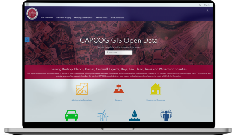
Hosted by ArcGIS Online, the site allows users to visually review numerous datasets before downloading the information for their own personal use.
Orthoimagery
Aerial Imagery
CAPCOG purchases aerial imagery, or othoimagery, annually across the ten-county region for jurisdictions to have reliable 9-1-1 routing maps. To improve planning efforts throughout the region and to save jurisdictions funds on producing their own maps, CAPCOG also coordinates the purchases of additional GIS products to be procured at the same time as its aerial imagery. The Capital Area Orthoimagery Project, formerly the GeoMap Program, is an annual project that provides and maintains the region’s need for geospatial base-map data through a cooperative purchasing measure that receives volume discounts for the greatest geographic coverage.
Over several decades, the project has saved CAPCOG and its regional partners millions of dollars while offering valuable data products for many important applications. It aids the region by:
- Leveraging taxpayer dollars to create enhanced base-map products at a reduced cost
- Establishing a common geographic framework for addressing local and regional issues
- Minimizing duplicative efforts to generate base-map data
- Supporting many critical applications including disaster preparedness, 9-1-1 communications, regional planning and infrastructure management
Awards
CAPCOG’s former GeoMap Program earned a coveted spot among NADO’s 2013 slate of honorees that included more than 90 projects from 25 states.
2021 Capital Area Orthoimagery Project
CAPCOG assisted 14 local governments in participating in the 2021 StratMap Program in the fall of 2020. Seven entities from within the region, not including CAPCOG, participated. They were the cities of Austin, Bastrop, Bee Cave, Round Rock, Horseshoe Bay, and Smithville and Texas A&M University. The other entities were governments and utilities from outside the region.
The project started gathering imagery in January and is anticipated to be finished in June with a delivered date soon there after. CAPCOG will review the data it requested before distributing the imagery as maps to public safety answering points around the region later in the summer. Other entities that participated should receive their data from TNRIS in June.
2020 Capital Area Orthoimagery Project
CAPCOG opened its call for projects for the 2020 Capital Area Orthoimagery Project in late March 2019.
It was acquired in January 2020 during leaf-off conditions in Bastrop, Blanco, Burnet, Caldwell, Fayette, Hays, Lee, Llano, Travis, and Williamson counties. The city of West Lake Hills was covered by 3-inch pixel resolution. And the cities of Bee Caves, Burnet, Marble Falls, Round Rock, and West Lake Hills are available at 6-inch pixel resolution. The entire CAPCOG region was covered with coarser 12-inch pixel resolution. All three pixel resolutions allow the user to identify detailed features on the ground such as road turning lanes, fences, and park benches.
2019 Capital Area Orthoimagery Project
CAPCOG opened its call for projects for the 2019 Capital Area Orhtoimagery Project in March 2018.
The project was flown in January 2019 during leaf-off conditions in Bastrop, Blanco, Brazos, Burnet, Caldwell, Fayette, Hays, Lee, Llano, Travis and Williamson counties and portions of Burleson and Grimes counties. The Austin, Bastrop, Bee Cave, Bryan, College Station, Burnet, Lockhart, Round Rock, and West Lake Hills city limits as well as the entirety of Brazos and Travis counties are available at 6-inch pixel resolution. The remaining areas are a 12-inch pixel resolution. This allows the user to identify detailed features on the ground such as road turning lanes, fences, and park benches. The entire dataset is available as a 4-band (RGBIR) product which allows the user to display the imagery in natural color (RGB) or color infrared (IRRG).
2018 Capital Area Orthoimagery Project
CAPCOG remained a regional project coordinator for the 2018 Capital Area Orthoimagery Project as the GeoMap Program transitioned into StratMap. Projects were submitted in June 2017. The state completed the orthoimagery project in the fall of 2018.
The project was flown in leaf-off conditions in Bastrop, Blanco, Burnet, Caldwell, Fayette, Hays, Lee, Llano, McLennan, Travis, and Williamson counties. The Austin, Burnet, Lockhart, Marble Falls and Waco city limits as well as the entirety of Hays and McLennan counties are available at 6-inch pixel resolution. The remaining areas are in 12-inch pixel resolution. This allows users to identify detailed features on the ground such as road turning lanes, fences, and park benches. The entire dataset is available as a 4-band (RGBIR) product which allows the user to display the imagery in natural color (RGB) or color infrared (IRRG). Each image tile covers one-64th of a USGS Digital Orthophoto Quad (DOQ), resulting in a DO4Q or approximately 1 square mile with minimum 300-foot buffers.
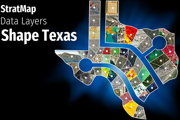
StratMap
The Capital Area Orthoimagery Project is coordinated through the Texas Natural Resources Information System (TNRIS) Strategic Mapping program, or StratMap. The state program’s goal is to facilitate a statewide cooperative purchasing of geospatial data, and CAPCOG ensures that local jurisdictions are aware of the program and are participating in the annual call of projects.
Besides excellent pricing, project coordination, technical assistance, and quality control, other StratMap Program benefits include:
- Streamlined contract and procurement process through DIR
- Negligible administrative fees
- Multiple, pre-qualified vendors and products to select from
- Data is placed in the public domain to follow “open government” doctrines
- And for Central Texans, the program and staff are still headquartered locally (in Austin)
TNRIS is a division of the Texas Water Development Board and serves as the state’s clearinghouse and referral center for geospatial data.
Mapping Disclaimer
The maps and data on any of CAPCOG’s websites are provided “as is” without warranty, expressed or implied, or any representation of accuracy, timeliness or completeness. The burden for determining accuracy, completeness, timeliness, and fitness for or the appropriateness for use rests solely on the user accessing this information.
The user acknowledges and accepts all inherent limitations of the maps and data, including that maps and data are dynamic and are in a constant state of maintenance, correction and revision. No liability is assumed for the accuracy of the data delineated on any map or any use of data developed using historical, current, or predictive models.